DIVA DATA
© Diva 2000
SELECT BY DESCIPTION
3d-model
3D Model of Ecuador
Reclassified Land-use map of Ecuador
Life zone map based on Holdridge, Vector
Life zone map based on Holdridge, Grid
Soils of Ecuador
Land-use map of the Andean zone above 1200m
Contains information on mean yearly temperature from INAMHI
Land-use map of Ecuador
Land-use map of Ecuador
Hillshaded Relief with 1000m resolution
Hillshaded Relief with 500m resolution
Hillshaded relief with 200 m resolution
Average annual precipitation in mm
Average annual temperature
Humidity index
Average annual temperature
Average annual temperature
Aspect map with 1000m resolutions.
Slope map (vectored)
Slope map with 1000m resolutions.
DEM with 1000m resolution
DEM with 500m resolution
DEM with 200m resolution
Altitudinal Levels every 600m
Contour lines every 200m
Urban areas of Ecuador
Population Centres of Ecuador
Delimitation of Protected Natural Areas of Ecuador
Delimitation of Provinces of Ecuador
Network of freeways for Ecuador
Network of unpaved roads for Ecuador
Network of railways for Ecuador
Network of trails for Ecuador
Network of unpaved roads for Ecuador
RiverNetwork of Ecuador (wide rivers)
RiverNetwork of Ecuador
Political Boundaries of Ecuador
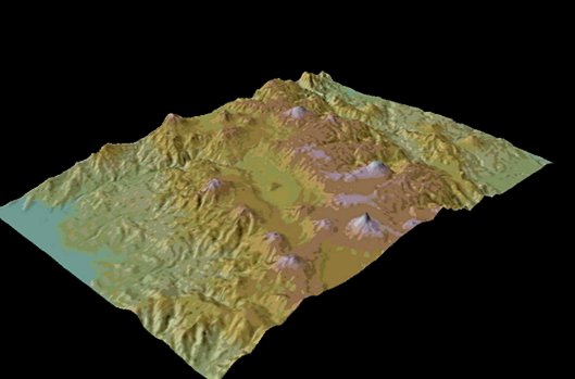
3D Model of Ecuador
Description :
3D Model of Ecuador
Use of data:
Contact DIVA